
Unlocking Site Awareness with Remote Sensing and Drone Operations
/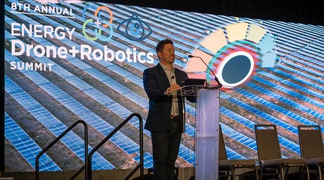
At the 2024 Energy Drone & Robotics Summit, Chris Sheil, a Senior Account Executive at Esri, took the stage to discuss how remote sensing and drone technology are transforming site awareness for industrial operations. With a background in remote sensing and a passion for geographic data, Sheil emphasized the power of a "geographic approach"—a structured method for leveraging spatial data to drive insights and decision-making.
The Geographic Approach: From Data to Action
Sheil outlined a systematic workflow that starts with data capture and moves through visualization, analysis, and ultimately decision-making. Remote sensing, particularly through drones and satellite imagery, plays a critical role in this process by providing real-time, high-resolution data.
“As humans, we think about things spatially,” said Sheil. “We interact with our spatial world around us, but it's taking a scientific approach to applying spatial information to the challenges that we come across in life and business.”
Esri supports this data pipeline through its Living Atlas, an aggregated repository of GIS layers and content from various sources. The company also focuses on efficient imagery management, ensuring that valuable drone data doesn’t remain locked away on local hard drives but is accessible across an organization.
The Power of a Comprehensive Imagery System
A comprehensive imagery system integrates data from multiple sources, including:
Drones for high-resolution site inspections
Satellites and aerial imagery for broader situational awareness
Lidar and 3D mapping for elevation and terrain modeling
Mobile devices, which serve as ubiquitous data collection tools

Sheil emphasized the importance of deep learning and AI in processing the vast amounts of geospatial data generated by these sources. AI-driven workflows enable automated detection of infrastructure elements such as roads, tanks, and well pads, reducing manual analysis time and enhancing operational efficiency.
Real-World Application: The Port of Corpus Christi
To illustrate Esri’s technology in action, Sheil showcased a digital twin project at the Port of Corpus Christi, the largest energy export gateway in the U.S. Using Esri’s GIS tools and partner data from organizations like Maxar, BlackSky, NOAA, and Skydio, Esri built a multi-layered digital representation of the port.

The process involved:
Integrating GIS Layers: Electronic nautical charts, historical ship movement data, and satellite imagery provided a foundational view.
Applying AI for Feature Extraction: Deep learning models identified roads, buildings, and storage tanks.
Drone-based 3D Mapping: Skydio drones captured high-resolution video and 3D point clouds for infrastructure analysis.
SAR (Synthetic Aperture Radar) Imaging: Used to penetrate cloud cover, providing uninterrupted monitoring.
Thermal Imaging: Highlighted heat activity at key operational sites.
These layers combined to deliver an up-to-date operational view of the port, helping stakeholders optimize logistics, monitor infrastructure, and improve security.
The Role of Drones in Site Awareness
During the Q&A, Sheil addressed the role of drone data within Esri’s GIS ecosystem. He noted that the choice of data source depends on the use case:
Drones are ideal for high-resolution inspections of pipelines, infrastructure, and assets.
Satellite imagery provides broad situational awareness and can highlight areas needing closer inspection.
Integrated GIS workflows allow organizations to combine both approaches for a scalable, cost-effective monitoring strategy.
“There’s so much data out there, and it can be overwhelming,” said Sheil. “What’s the right data source to use? It’s important to start with your use case—what are you trying to identify? If you need high-resolution data for inspections, drones are the way to go. If you’re looking for broad analysis across a large area, satellite imagery is a great starting point.”
Conclusion: Making Geospatial Data Actionable
Sheil closed with a call to make geospatial data accessible and actionable. Whether through centralized imagery management, AI-driven feature extraction, or interactive web applications and dashboards, Esri aims to empower industries with a comprehensive, scalable remote sensing solution.
By leveraging drone data alongside other geospatial inputs, energy and industrial companies can enhance situational awareness, streamline decision-making, and improve overall operational efficiency.
Want more real-world case studies? Get signed up to find out when registration opens for the 2025 Energy Drone and Robotics Summit, June 16-18, in Houston, TX.